Home / Community Development / Geographic Information Systems
Geographic Information Systems (GIS)
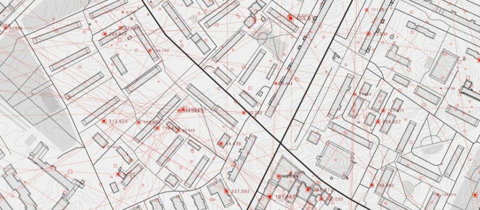
Buckeye Hills has maintained GIS (Geographic Information System) capabilities to meet the mapping and data needs of our eight-county region of Southeast Ohio since the 1990s. Realizing that the need for mapping products, spatial data, and custom data research and analysis would grow considerably in the future, Buckeye Hills has continually invested in the necessary mapping software, hardware, and staff training, to meet this growing need.

